Event Detail
Netherlands Institute in Turkey (NIT) Symposium: Standplaats Istanbul
November 28, 2018
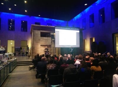
During the evening program of the NIT symposium, M. Erdem Kabadayı presented a keynote lecture in English about the proceedings of the Urbanoccupations OETR project titled:
- Reading maps and mapping texts: geo-spatial histories of Ottoman mobility and urbanization.
Summary: The Ottomans left vast archives of administrative documents, much of which remain unexplored. Digital technologies (GIS) can help explore these archival materials to ask new questions regarding historical developments in such areas as demography, urbanization, trade, or military logistics and communication. This lecture presented examples of the ongoing research project on urban and rural landscapes in Anatolia and the Balkans and also discussed the potentials and risks of historical GIS applications.