Event Detail
MESA 2017
November 18, 2017
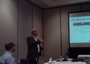
The 2017 annual meeting of the MESA took place in Washington DC. Our team presented the following papers at Historical GIS Applications to Analyze Economic Geography and Transport Infrastructure in the Ottoman Empire session.
- “A geo-spatiotemporal analysis of population and economic geography for the districts (sancaks) of Ankara and Bursa, 1845–1927.”, presented by Semih Çelik and M. Erdem Kabadayı
- “Mapping historical routes upon a geo-referenced late Ottoman coastal and land transport network.”, presented by Turgay Koçak and Osman Özkan,
M. Erdem Kabadayı also participated in the roundtable titled “Can You Read This One?” New Advances and Issues in Digital Recognition of Printed/Handwritten Arabic Characters.

