Event Detail
ICOSEH
July 24, 2017
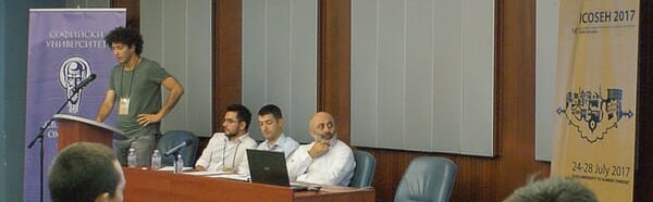
Our project team organized a session on Historical GIS Applications for Ottoman History:
- “Sheep go to Heaven, (Angora) Goats go to Hell: A Geo-Temporal Analysis of Angora Goat Population in the Province of Ankara (1889-1905)”, presented by Semih Celik
- “A New Spatial Method of Analysis for the Ottoman Military History: A GIS-based examination of Murad IV’s Revan (1635) and Baghdad (1638) Campaigns”, presented by Turgay Kocak
- “From oars to sails: A GIS based spatio-temporal analysis of Ottoman naval technological change”, presented by Osman Ozkan
- “Data matching between Ottoman temettuat and population registers and exploring life cycles and economic positioning of Ottoman urban dwellers in mid-nineteenth century Ankara and Bursa”. M. Erdem Kabadayı presented preliminary results of nominal data matching.